Sulla Linea Cadorna del Verbano in MTB
You will cycle in MTB a great itinerary with beautiful points of view: Lake Maggiore, the Po Valley, Monte Rosa and the Swiss Alps.
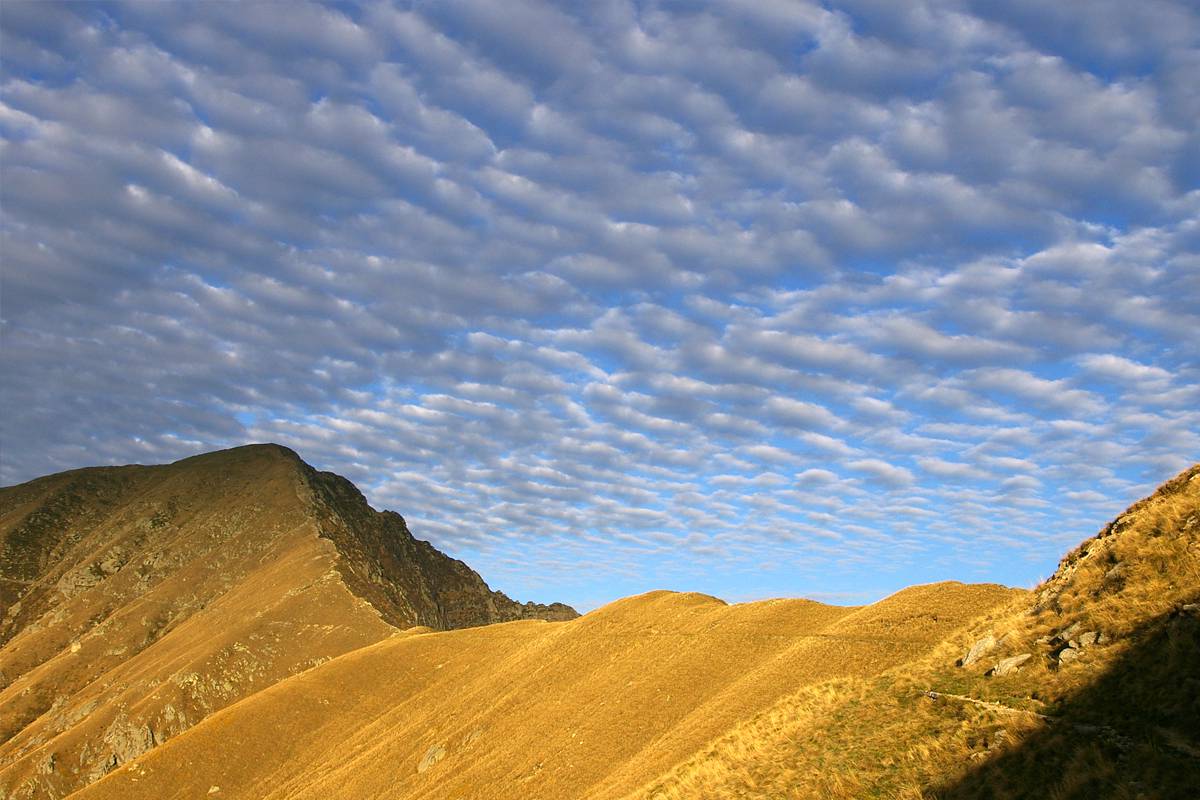
While cycling you will discover two sides of the mountains of the Verbano: the southern side, a balcony over Lake Maggiore, sunny and characterized by alpine meadows and pastures, and the northern side, towards the Cannobina Valley, shady and picturesque, made of a unique and huge beech woods that opens suddenly on the rocky peaks of the Gridoni.
An emotion for every pedal stroke.
And finally, once you left the MTB, after a steep climb you will conquer the Monte Zeda, for all known as “la Zeda”, the Queen of Lake Maggiore, with its incomparable view.
Beschreibung des Reisewegs
From the Centro Auxologico of Piancavallo you will reach Colle by the road.
On the left is the start for the military trail, recently restored.
Continue up to Pian D’arla and then Pianpuzzo where taking on the right you go on the north side, to reach Archia.
Go on until you reach passo Folungo where the military road clearly changes inclination to go up with a series of bends to Pian Vadà.
From here the road becomes a comfortable flat trail leading to Piè Zeda (where you leave the bike) and after a steep path you reach the top of Monte Zeda (45 min.), one of the most panoramic place of the Lake.
Go back by the trail you took forward up to passo Folungo, where you take on the right along the military road that goes down smoothly to alpe Biogna and then back to Pianpuzzo.
You will then be back again on the northern side and on the forest track you reach Pian d'Alpe from where, across a beech forest you will arrive in Colle.
Close to the fountain starts the path leading to the top of the Morissolo, a beautiful balcony on the Lake Maggiore, where you will have the possibility to visit the fortified galleries of the Cadorna Line.
Then you go back to Piancavallo taking the easy flat military road, with admirable architectural stone elements.
Nützliche Informationen
This is an itinerary SLOW PANORAMA.
Geeignet für
MTB
Eigenarten
Technische Probleme
Tief
Körperliche Schwierigkeit
Gemittelt
Typologie
Zirkular
Laufzeit
3h 45m
Länge
26,5km
Gesamter Höhenunterschied der Anstieg
916m
Höchstantteil
2156m
Günstige Zeit
mai
juni
juli
august
september
oktober


